Chasewater Railway Museum Catalogue
Maps
Click on the link below to see the full list
Maps 2020 XL Files
Click on pics for larger version.
Caption Text – Object number, name, description, maker, location
-
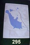
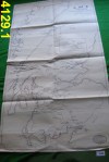
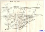
- 295 Map Map of Chasewater showing proposed by-pass alignment R4.S4
-
- 903 Railway Clearance House Map London R5.B3.S4
-
- 904 Railway Clearance House Map National R5.B3.S4
-
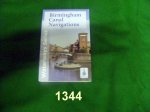
- 1344 Map Birmingham Canal Navigations Waterways Series BS
-
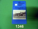
- 1346 Map Cannock (South) 1902 Godfrey Edition BS
-
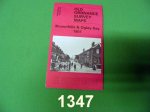
- 1347 Map Brownhills & Ogley Hay 1901 Godfrey Edition BS
-
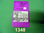
- 1348 Map Cannock North 1902 Godfrey Edition BS
-
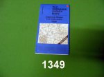
- 1349 Map Cannock Chase & S E Staffs 1898 Godfrey Edition BS
-
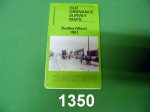
- 1350 Map Dudley (West) 1901 Godfrey Edition BS
-
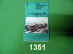
- 1351 Map Wolverhampton (NE) and Heath Town 1901 Godfrey Edition BS
-
- 1660 UK Rail Map Rolled map of LNER UK lines
-
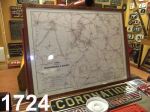
- 1724 Railway Map 1887 – Airey’s Map South Staffordshire & District Map Seeker Publications Buffet
-
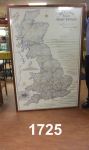
- 1725 Railway Map Bradshaw’s Map of GB Map Seeker Publications Buffet
-
- 3248 Map Track Plans – Pinnox & Chatterley NSR Box 3B
-
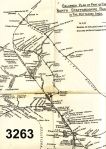
- 3263 Map Route map of lines in the Potteries area – 1951 NSR Box 3B
-
- 3264 Map Route Map NSR Box 3B
-
- 3488 Map Mid Box 4
-

- 3999 Map 1939 – Map of LMS System Sheet 4 LMS Box 11
-
- 4113 Map Vertical Line Map LMS Box 12
-
- 4128 Map 1923 – Motive Power Depots, England & Wales LMS Box 13A
-
- 4129 Map 1923 – Motive Power Depots, Scotland LMS Box 13A
-
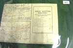
- 4671 Map Maps of GWR System GWR Box 23
-
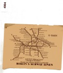
- 4904 Map Berlin Subway Lines Unknown Box 33
-

- 7043 Map LNW & Caledonian Rly Map Box 37
-
- 7051 Map LMS System map on linen LMS Box 37
-
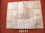
- 10111 Map Great Western Railway Geographia CLR Archives Box File 5.1.3
-
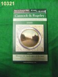
- 10321 Map Cannock & Rugeley Past & Present Cassini BS
-
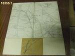
- 10355 Local Line Norton Branch Ordnance Survey D13
-
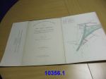
- 10356 Local Line Five Ways Branch LNWR D13
-
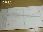
- 10356 Local Line Five Ways Branch LNWR D13
-
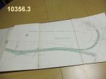
- 10356 Local Line Five Ways Branch LNWR D13
-
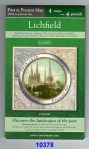
- 10378 Map Lichfield Past & Present Cassini BS
-
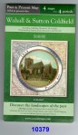
- 10379 Map Walsall & Sutton Coldfield Past & Present Cassini BS
-
- 10380 Map Burton-on-Trent LNWR C8
-
- 10661 Railway Map Cannock Mineral Railway Ordnance Survey Box 1
-
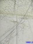
- 10661 Railway Map Cannock Mineral Railway Ordnance Survey Box 1
-
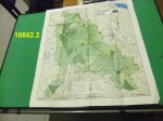
- 10662 Map 1974 Map of Cannock Chase Staffs County Planning Dept BS
-
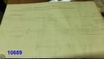
- 10689 Brownhills & Aldridge Branch 16-11-1934 S & T Dept – Re single line LMS Drawer 13
